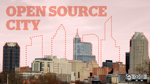
An open source city takes shape: The impact of Open Raleigh

No readers like this yet.
open source city

Opensource.com

In part one of this series, we talked about open government scoring another victory with the City of Raleigh's Open Raleigh initiative. We reviewed the technological components of the open data portal, including ESRI, Granicus, GovDelivery, and SeeClickFix. It's pretty clear that these tools and ways of thinking are having an impact on Raleigh governance.  But what about the other way around?  Is the open government initiative taking place contagious?  We hope so.

The Open Raleigh solution highlights several principles of the open source way. First, as many open source projects do, Raleigh is building a platform based on open standards and interchangeable components. The city is choosing standards-based solutions that address the problems they’re trying to solve without reinventing the wheel. Raleigh is enhancing the citizen experience, using open ideas, and providing those ideas even greater support.

At heart, it’s about collaboration. The city is following a roadmap that includes citizen input. For example, citizen civic geeks help define the city’s open data policy. This means the work gets done, citizen needs are met, government needs are met, and the cost of doing the work is reasonable.

Fostering communities of passion, like CityCamp Raleigh, is also part of the strategy. City staff understands the open source way is a partnership with citizens that must be on-going.

The city is also innovating using a release-early and release-often process. This means that projects iterate quickly, and it doesn’t take long to go from ideas to results. This encourages action, and keeps participants from losing interest. It didn’t take long to get the first pieces of the open data portal deployed after the open source resolution was passed. In fact, the city implemented SeeClickFix and the ESRI geoportal before a formal open source policy was in place. GovDelivery and Granicus CivicIdeas were up and running within three months of the resolution being passed.

The open source mentality was already part of Raleigh’s culture—even before a government directive was passed. Now that there is a policy, a roadmap, and an open data portal, Raleigh is on the fast-track to being the world's first open source city.

Read part one of this series: An open source city takes shape: Open, online tools and data.

Tags
Avatar
Jason Hibbets is a Community Director at Red Hat with the Digital Communities team. He works with the Enable Architect, Enable Sysadmin, Enterprisers Project, and Opensource.com community publications.

4 Comments

As an "open source city", it's a real shame that Raleigh didn't select one of the excellent open source GIS data discovery portal options instead of going with an ESRI product. One hopes they at least evaluated GeoNode and GeoNetwork at the same level as the ESRI GeoPortal. A few examples of others using these tools: Metro Boston Data Commons and Open San Diego are using GeoNode. The University of Virginia and the Delaware Data Mil are using GeoNetwork.

Quite a few in the GIS industry suspect that the main reason ESRI, a proprietary software company, finally open sourced their Geoportal Toolkit software is because after seven of years of pushing it, there just was not the desired significant level of uptake from Government agencies in purchasing the extensive ESRI technical implementation services required to get it running properly.

Read some reviews here: http://www.geomapp.net/docs/Geoportal_Toolkit_Evaluation_final_20111231.pdf

I wasn't directly involved with the decision to use ESRI, however, I believe that the fact that both the State of North Carolina and Wake County already had ESRI deployed made it easier to integrate the other GIS layers. (Ahem, not a GIS expert here, forgive me if I use the wrong terminology.)

It would be great if the City could deploy an entire open source ecosystem, however, we've got to make incremental progress. Again, while I don't know the exact requirements about this particular decision, we also need to give the City the ability to fulfill the requirements for the solution they're looking for. Of course, as citizens, we should feel obligated to influence these decisions and point out other options that could fulfill the requirements.

Thanks for sharing the other solutions.
Jason

James, the ESRI geoportal is actually open source as well. The core ESRI products are not, but the geoportal is. See http://geoportal.sourceforge.net/

Yes, I'm well aware of that.

If you read the 2nd paragraph in my initial post, you'll see what many in the industry think their reason for open sourcing it was. I know a few federal contractors who have worked on implementations of it, and they indicate the code base for the security portion is a real mess.

Creative Commons LicenseThis work is licensed under a Creative Commons Attribution-Share Alike 3.0 Unported License.